
Xenia Neighbor Sources at a Glance
Public sources answer different questions about a block. The county map shows parcel geography. The Auditor supplies the owner-of-record and current parcel facts. Recorder instruments document a title trail. Those are useful ways to understand the land around a Xenia address, but they do not combine into a list of present-day neighbors. The best practice is to identify each visible parcel, record the source and its date, and keep ownership, mailing, and occupancy claims separate.
| Source | What It Shows About a Block | Access |
|---|---|---|
| GIMS / GIS map | Parcel boundaries, address and map context, plus listed public parcel attributes | Free county map; GIS office counter |
| Auditor parcel record | Owner of record, listed parcel facts, legal description, value and credits | Address, parcel, or owner search |
| Recorder instruments | Recorded title and legal-description chain | General index stated from 1984 forward; counter or archives for earlier work |
| Voter information | Individual registration confirmation within statutory limits | Ohio Secretary of State lookup or Board of Elections assistance |
| City permit or code files | Publicly released, address-related work or enforcement context | CitizenServe, Development Services, or a records request |
| Historic directories and newspapers | Dated listed occupants and address events | Greene County Room or archives |
A parcel can be vacant, remotely owned, or associated with a mailing address outside Xenia. That is why Xenia neighbors are best approached as a property-context question first. Note: A historical listing, current owner field, and individual voter confirmation are different facts with different dates and limits.
Read a Xenia Block in GIMS
Greene County’s GIMS viewer provides the spatial starting point. Its documented configuration identifies public parcel fields including parcel ID or parcel number, owner name, address components, property address, survey volume and page, sale date, sale price, valid-sale indicator, school district, taxing district, tax mailing address, and land, building, and total appraised values. The county map service says parcel data are updated daily from the CAMA system. These are map and property attributes, so treat them as a snapshot to verify rather than a statement about everyone at a location.
The Greene County GIS Mapping application is the official entry point for the Xenia parcel map.

The map helps identify the visible parcels surrounding an address. The Auditor and Recorder are the follow-up sources for the property facts behind those polygons.
GIMS configuration also lists search, enhanced and advanced search, layer list, attribute table, measurement, and buffer widgets. The documented features support parcel orientation and context. They do not establish a complete adjacent-household report.
Xenia Neighbor Records Compared
The owner name on a parcel is not the same as a current household. The Auditor’s real-estate material can show ownership, property address, legal description, transfers or conveyances, and tax-related facts. A tax mailing address may be useful administrative information, yet it can be different from the situs address where the land sits. Recorded deeds add a legally significant title trail, but they also identify owners rather than every person associated with an address. Keeping those distinctions visible is the most important accuracy check for a Xenia neighbor search.
The Greene County Real Estate Information page describes the Auditor’s parcel-record scope.
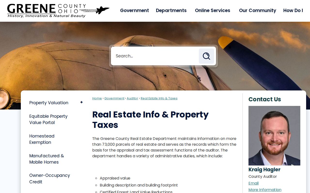
The Auditor record supplies the property layer. Verify a deed question with the Recorder rather than treating the parcel display as the recorded instrument.
| Source category | Useful block fact | Critical limit |
|---|---|---|
| Official parcel and deed records | Parcel geometry, owner of record, legal description, and recorded title context | They do not prove current occupancy or every household member. |
| Official voter information | Individual registration or polling information where lawfully available | It is not a block roster, and protected records remain protected. |
| Commercial neighbor-lookup category | May combine public and private data into a convenient display | Dates, sources, and household claims can be incomplete or unclear; confirm with the official custodian. |
Xenia Property Alerts for Owners
A safer property-focused follow-up is an alert for a monitored name or entity when a real-property filing appears. The Recorder-linked service is free and offers a custom keyword alert or an alert created from a document. It sends an email when the monitored name or entity is used in a filing, while expressly stating that it does not guarantee detection. That makes it a notice tool for a property interest, not a way to locate Xenia neighbors or identify a household.
The Greene County Property Alert page shows the official name, keyword, and document-alert routes.
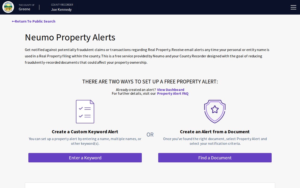
Use a filing alert to review a property-related record through the Recorder when notified, not as evidence about a nearby resident.
Map Xenia Neighbor Parcels
The adjacent-parcel method begins with one known address and moves outward only through visible parcel polygons. First locate the address or parcel ID in GIMS. Read the subject parcel’s displayed property address, parcel number, owner-of-record field, and legal description. Then select the clearly contiguous polygons around it. For each one, repeat the Auditor check and, when title matters, use the Recorder for the acquisition record. This sequence makes a defensible map of land context without converting the result into a claim about who currently lives there.
- Find the Xenia subject address in GIMS and note the parcel number and property address.
- Click only visibly adjacent parcel polygons or use a documented map or buffer feature to identify parcels.
- Check each parcel in the Auditor search for owner-of-record and legal-description context.
- Confirm a recorded ownership question through the Recorder, carrying the legal description with the deed trail.
- Move to the full Xenia street records workflow only when the question is a whole named street rather than the immediate block.
Do not treat a homestead credit, mailing address, sale date, or map proximity as conclusive proof of occupancy. The records describe different relationships to a parcel.
Xenia Permit Context, Not a Roster
For an address inside city limits, the City Building Division is the stated custodian for building permits. The city-linked CitizenServe portal includes Building Permits, Development Projects, and Code Enforcement sections. Its documented public account and address fields include Address1, Address2, City, State, and ZIP, with public and anonymous account options. The research did not capture the unauthenticated search controls or a sample result, so a result should not be assumed to contain more than the portal currently releases.
The Greene County NextRequest portal is an online route for a focused public-records request when an existing county record can be identified clearly.
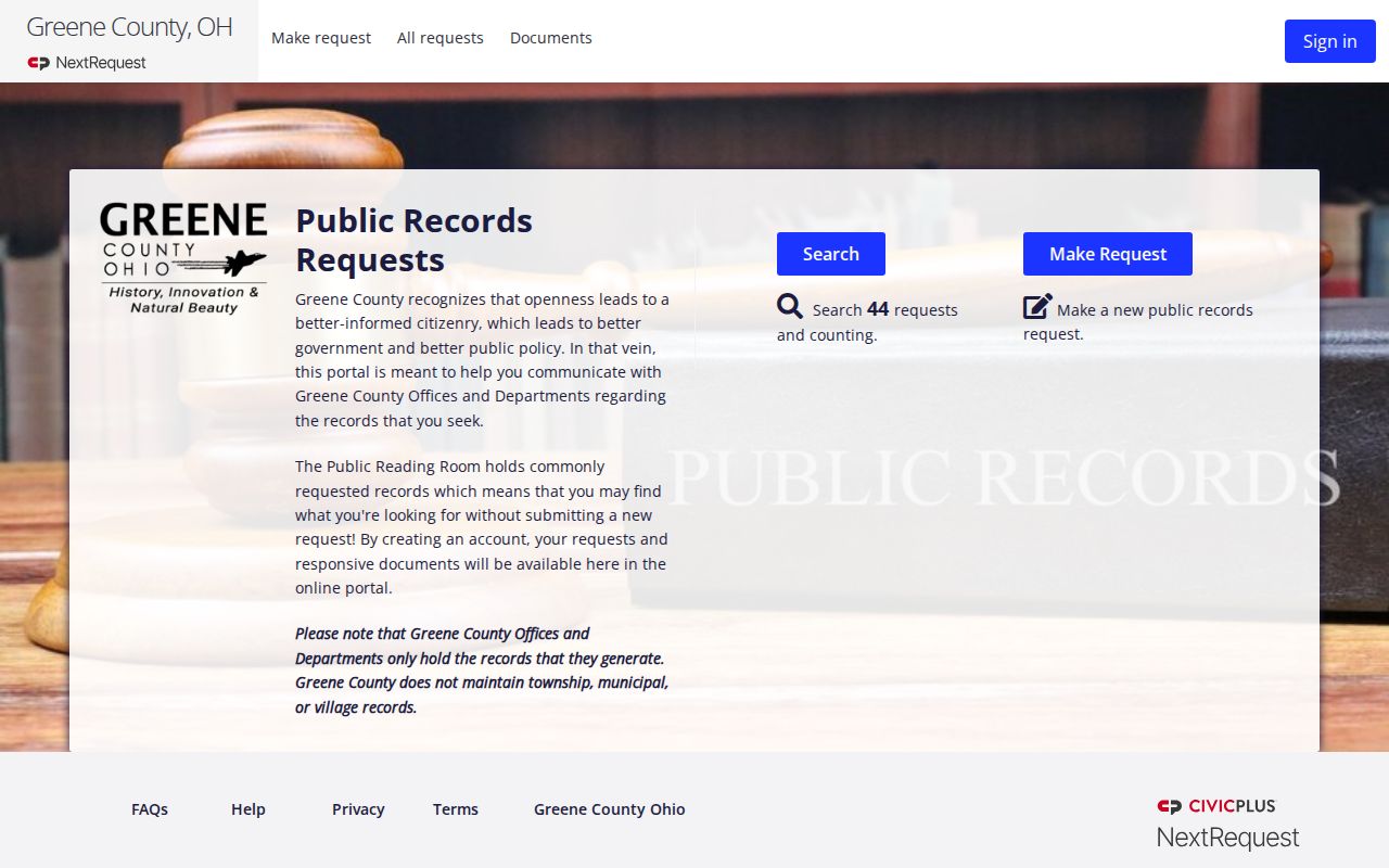
A request should seek an identifiable existing record, such as an address, date range, document number, or legal description. It should not ask staff to assemble a neighborhood profile.
The Xenia Development Services information is the city source for the permit and development-services context.
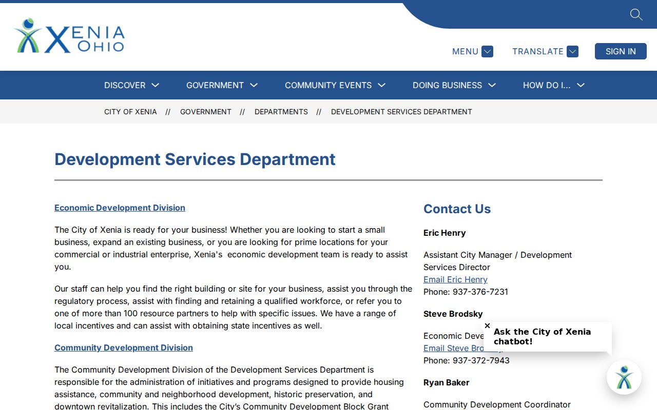
Address-associated permit or code material may explain a project or enforcement event. It does not establish a current-neighbor directory.
| Public office | Use | Supported contact |
|---|---|---|
| Greene County GIS | Parcel layers and mapping questions | 69 Greene St., Xenia; 937-562-5064; weekdays 7:30 a.m.–4:30 p.m. |
| Auditor Real Estate | Parcel data and ownership-record questions | 69 Greene St., Xenia; 937-562-5072; weekdays 7:30 a.m.–4:30 p.m. |
| Planning and Zoning / Code Enforcement | City permit, development, and code context | 107 E. Main St., Xenia; 937-372-6389; weekdays 8 a.m.–4 p.m. |
No Xenia Association Roster
Research did not locate an authoritative umbrella directory of Xenia neighborhood associations, HOA membership rosters, congregation lists, or block-watch rosters. City Neighborhood Services appears in the 107 E. Main office grouping, but that is not an association inventory. A planning or hearing record may identify a named development or neighborhood for its own purpose, yet it does not provide a membership list. The absence of a verified roster is important because it prevents an address search from being presented as a community directory when the source does not support that claim.
For a historical rather than current block question, the Greene County Room offers city directories dating to 1870 and newspaper microfilm dating to 1814. Those sources can place a listed person at an address in their own era, with the same care about dates and address changes.
Past Xenia Block Listings
Older directories, newspapers, plats, and deeds can help reconstruct a former Xenia block. The Greene County Room’s city-directory and newspaper holdings are the documented library fallback when a modern parcel screen reaches its limit. The county historic-property guide warns that street names and numbers can change, so carry the legal description through plats, deed indexes, and tax duplicates instead of relying on a modern street number alone. Sanborn maps and archived city maps can add a period map view when paired with the right directory or newspaper year.
A historic directory records a dated listed occupant, not a present resident. A deed records a title event, not a household census. Those modest but useful facts can be combined for family-history or property-history research when each source is kept in its proper period.
Xenia Neighbor Privacy Boundaries
Important information about a block is not public through parcel tools. Property records do not establish renters, every household member, utility or delivery accounts, protected Safe at Home participants, motor-vehicle address data, or a person’s ballot. Ohio’s individual voter lookup is designed for registration and polling confirmation, not public enumeration of a street. The Board of Elections and Secretary of State must apply the confidentiality categories in Ohio law, including address-protection limits.
Ohio Safe at Home provides an address-confidentiality route with substitute mailing-address and confidential voter-registration handling for eligible participants. It is not an instant web-removal form and a public-record request is not a workaround for a protected address. The Ohio Safe at Home program is the official source for that protection.