
Xenia ZIP Code Coverage and Delivery Areas
The confirmed principal ZIP for City of Xenia addresses is 45385. It appears at City Administration, county and court offices, the Greene County Room, and Xenia Community Library. That use establishes the ZIP as Xenia delivery geography, not as a city-boundary line. Xenia Township also uses 45385, so the same postal label can occur outside the incorporated city. The nearby 45384 ZIP belongs to Wilberforce-area geography and Central State University; research did not verify it as serving an incorporated Xenia delivery address. A Xenia ZIP code directory should keep that distinction plain rather than turn nearby postal geography into a city delivery list.
| ZIP | Areas Covered | Post Office | Notes |
|---|---|---|---|
| 45385 | Confirmed principal City of Xenia delivery geography; also used by Xenia Township offices | Verify the precise delivery address with USPS | Does not prove that an address is inside city limits. |
| 45384 | Wilberforce and nearby-area geography, including Central State University | Verify the precise delivery address with USPS | Not verified as an incorporated City of Xenia delivery ZIP. |
For a location inside either postal area, move from the street address to the Greene County parcel and city-boundary context. That is the reliable way to separate delivery service from jurisdiction. Note: The research confirms these two ZIP relationships but does not support a ZIP-wide list of Xenia households.
Verify a Xenia ZIP Code by Address
Postal verification comes first. Enter the complete street number and street name in the official lookup, then retain the returned ZIP with the spelling of the delivery address. This step matters when an old directory, a deed, or a family record supplies only part of an address. It also prevents a nearby place name from being mistaken for the current postal assignment. A return from the Postal Service answers a delivery question. It does not confirm municipal limits, parcel ownership, or who currently occupies the address.
The USPS ZIP Code Lookup is the postal source for checking a specific Xenia delivery address.
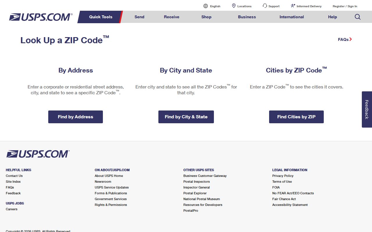
Use the returned ZIP as one part of the address record, then compare it with the parcel and city-boundary information when jurisdiction matters.
- Start with the full Xenia street address, including any unit shown on the underlying record.
- Check the delivery ZIP in the USPS result and preserve the standardized address wording.
- Search the address in the Auditor property system to identify the parcel and owner-of-record context.
- Open the GIS parcel view when the city line, township setting, or nearby geography needs confirmation.
Xenia ZIP Code Comparison: 45385 and 45384
The comparison is useful because the two ZIPs sit in related local geography but do different work. 45385 is the confirmed principal Xenia ZIP. 45384 is a Wilberforce-area ZIP associated in the research with Central State University. It may be relevant when tracing a regional address, school record, or historical reference near Xenia, but that does not make it a substitute for a verified Xenia delivery result. A postal label should always be read alongside the exact address and the government boundary that applies to that parcel.
The Census QuickFacts profile for Xenia supplies city-level population and land-area context, while the Postal Service resolves an individual delivery ZIP.
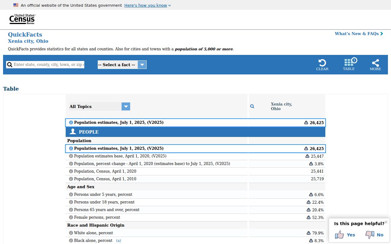
Citywide figures describe Xenia as a municipality. They should not be read as a count or delivery list for either ZIP.
Xenia ZIP Code Search Fields
The Greene County Auditor Real Estate Search is the county route from an address to a parcel record. Its public form has a combined parcel-number, owner-name, or address entry plus a detailed address search. The form can narrow an actual address with street components and a city/state/ZIP selector. It is valuable after postal verification because it connects a location to land records. It is not a ZIP-wide resident search, and its owner field is not a complete list of people at the property.
| Field | How it works | Limit |
|---|---|---|
| Search by parcel number, owner name, or address | One combined entry can start a parcel, owner, or address search. | It locates property records, not a ZIP roster. |
| Street Number and Street | Detailed address fields narrow a specific Xenia location. | Use the street address, not ZIP alone. |
| City, State ZipCode | The displayed selector narrows the address location component. | The option list was not captured, and research did not verify a ZIP-wide filter. |
| Real Estate or Manufactured Home | Property-type checkboxes refine the address query. | They do not establish occupants. |
The detailed form also displays tax year, directions, suffix, unit designator, and unit fields. When a result is unclear or a transfer is pending, the Auditor counter is the appropriate county fallback. Note: Electronic property data can change, and the Auditor recommends the original recorded document for legal transactions.
Narrow a Xenia ZIP Code Search
Finding a Xenia address within a ZIP is a geographic verification task, not a way to generate a list of residents. The Recorder’s inspected search modes are name, instrument number, book or page, parcel ID, and historic indexes. ZIP is not one of those modes. The official voter interface was likewise not verified to return voters by ZIP or street, and the research found no public ZIP-wide people filter in GIMS. Once the address has been confirmed, a street-level record trail is more useful than a broad postal query.
- Confirm the address and ZIP with USPS.
- Use the Auditor address form and its City, State ZipCode selector as a location narrower.
- Check GIMS for the parcel geometry, district context, and boundary relationship.
- Use the Recorder only with its actual parcel, name, or document search modes when recorded-title information is needed.
When the ZIP has narrowed the area to one named street, the Xenia street records walkthrough supplies the more appropriate address-by-address method.
Xenia ZIP Code Labels Need Parcel Checks
ZIP boundaries and municipal boundaries have different purposes. Greene County says its address-assignment jurisdiction includes Xenia Township, while incorporated Xenia addresses are handled by their local city or village. The county’s one-mile grid is centered on Main and Detroit Streets, but a city mailing label still does not decide which government boundary applies. Recent annexation material reinforces the point: city lines can change while delivery labels, 911 assignments, and tax records must be kept aligned through separate processes.
The Xenia Township overview helps illustrate why 45385 can appear in both township and city contexts.
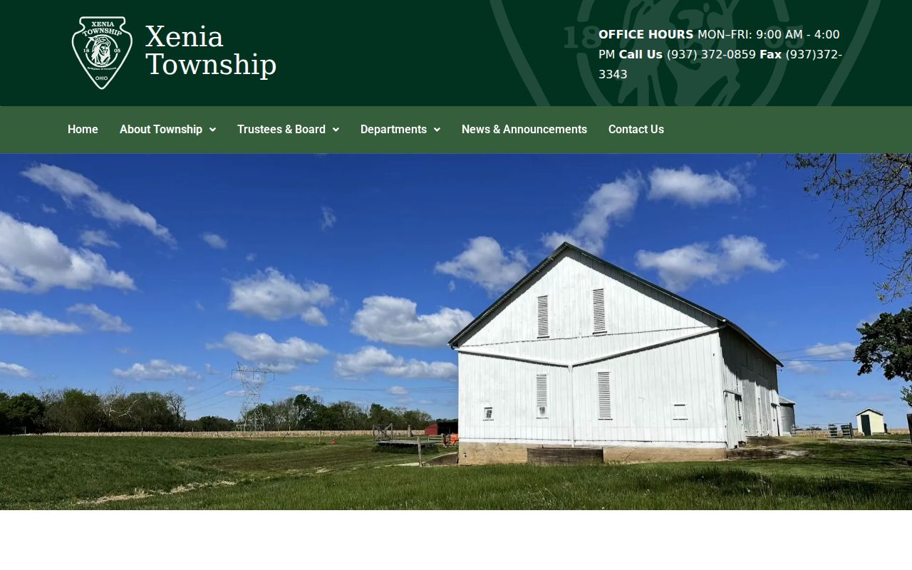
A township or city reference can place an address in local context, but the parcel and applicable boundary layer resolve jurisdiction for the specific lot.
Xenia ZIP Code Terms and Census Areas
Postal and statistical labels look similar but are not the same thing. The Census Bureau describes ZIP Code Tabulation Areas, or ZCTAs, as statistical approximations of USPS delivery geography. A ZCTA can support a broad demographic view, but it does not redraw a City of Xenia boundary and it should not override an address-specific postal result. That distinction protects an address search from false precision when a neighborhood, township, or nearby institution falls close to a postal edge.
The Census explanation of ZCTAs directs current ZIP questions back to USPS.
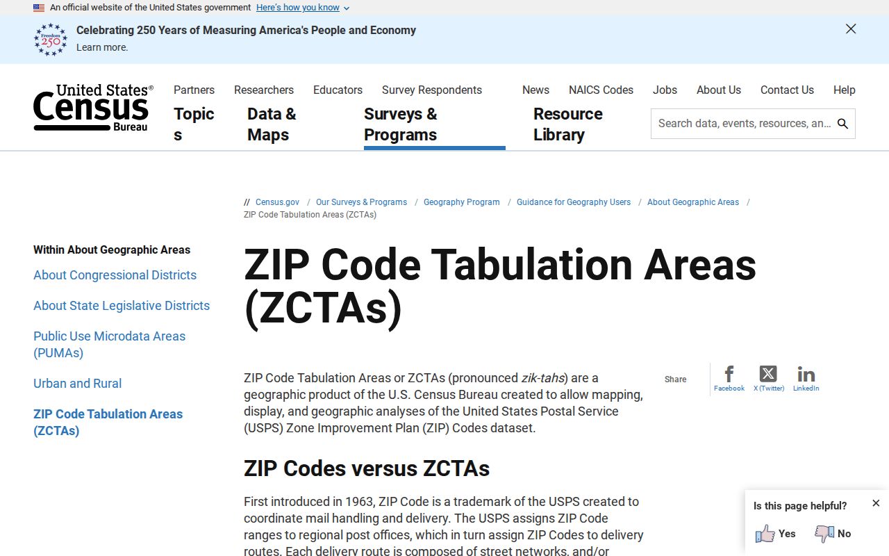
The distinction shown by the Census is why a broad geographic approximation cannot replace the delivery result for a specific Xenia address.
- ZIP Code
- A Postal Service delivery designation for an address or delivery area.
- ZIP+4
- An added four-digit delivery detail used with the five-digit ZIP; it is not a municipal boundary.
- PO-box ZIP
- A ZIP used for post-office-box delivery. The research did not identify one as a Xenia city coverage category.
- Unique ZIP
- A ZIP assigned for a particular organization or delivery use. Do not assume one from a nearby institution without a USPS result.
- Carrier route
- A delivery-route grouping used for postal operations, not a roster of people or a legal city line.
Towne Square's Xenia ZIP Code Lesson
Address geography can change after a development or plat action. Xenia City Council minutes from September 25, 2025 describe a Towne Square replat that required coordination among the City, USPS, 911, and county tax systems for address changes. The lesson is practical: a new address, an older deed reference, and a postal label can be at different stages of alignment. Preserve the date of each source and check the current delivery result before matching old and new address wording.
For older land records, carry the parcel’s legal description through the Recorder, plats, and tax material. An old street name or number may not be the best bridge across a change. Note: The Towne Square record is an address-continuity example, not evidence that every nearby ZIP or parcel changed.
Xenia ZIP Code Boundary Limits
A ZIP code directory can orient a search, but it cannot establish every fact tied to an address. Postal results answer delivery. The Auditor connects a street address to a parcel, ownership field, legal description, and other real-estate data. GIMS places that parcel among surrounding geography. The Recorder supplies the recorded-instrument trail, with its general online index stated from 1984 forward. Each source has a different purpose, and each should be checked against the question being asked.
Do not infer a current household from a property owner, a tax mailing address, a ZIP, or a historical directory entry. Those records can be useful for family history, estate work, or address research when their limits are preserved. For earlier material or a question the online tools do not answer, the Auditor, Recorder, Greene County Room, and Greene County Archives provide the documented counter and research fallbacks.