
Search Xenia Streets by Address
Use an address as the fixed point. Greene County separates the property record, the map parcel, the recorded instrument, and historical occupant evidence. The Auditor is the first stop for an owner of record, property address, parcel identifier, and legal description. GIMS then adds parcel shape and nearby parcel context. The Recorder supplies the title trail. A dated directory can add a listed occupant, but it does not replace the property record.
That sequence keeps unlike facts from being merged. An owner can receive tax mail elsewhere. A historic address listing can refer to someone who occupied the building but did not own it. Start with the smallest reliable unit, the parcel, and retain the legal description while moving between systems.
- Enter the street number and name in the Greene County Auditor property search. Copy the parcel number, situs address, owner field, and legal description exactly as displayed.
- Open the parcel in GIMS and use the visible parcel outlines to orient the street. Record map context, but do not treat the map as an ownership instrument.
- Find the current acquisition record in the Recorder’s search. The deed’s grantor and grantee begin a title sequence that can be followed backward.
- For a dated occupant question, check the matching historical directory or newspaper evidence at the Greene County Room. Pair it with the address form used in that era.
Xenia Street Directory Field Search
The Auditor form has both a combined query and a detailed address search. A street-only inquiry is best narrowed with the street name, city/state/ZIP selector, and then number or property type. The portal does not mark fields as required, so absent choices should not be guessed. Its electronic-data notice also points users back to original recorded documents when a legal transaction needs verification.
| Auditor field | Input | Use for a Xenia address |
|---|---|---|
| Quick search | Parcel number, owner name, or address | Use when a full identifier is already known. |
| Street Number and Street | Text | Build an exact street address. |
| Pre-/Post-Direction and Suffix | Dropdowns | Keep directional and street-type parts distinct. |
| Unit Designator and Unit | Dropdown and text | Narrow a unit-level property when supplied. |
| City, State ZipCode | Dropdown | Narrow an address, not a verified street-wide roster. |
| Property Type | Real Estate or Manufactured Home | Limit results to the relevant property class. |
Fields such as tax year, direction, suffix, unit, and property type are especially useful when a short street name returns too much. The Auditor maintains more than 73,000 real-estate parcels, so a precise address query is more dependable than attempting to infer a person list from a broad street search.
Xenia Address Terms That Differ
Property research becomes unreliable when three address labels are treated as synonyms. Keep each one in the notes taken from the first parcel result. Older deeds and plats may omit the modern street number altogether, making the land description the key link.
- Parcel
- A defined tract in the county tax and mapping system, identified by a parcel number.
- Situs address
- The physical property address where the land sits. It is not necessarily an owner’s mailing location.
- Legal description
- The lot, block, survey, or other land wording that carries a parcel through deeds and plats when an address changes.
- Plat
- A recorded map that lays out lots, boundaries, and streets. It can connect an old reference to a current parcel.
- Criss-cross directory
- An address-arranged directory, when a volume includes one, used to find its dated listed occupant.
For Xenia streets, the owner field and tax mailing address are administrative facts. Neither one proves that every person connected with a property resides there.
Xenia Street Parcels in GIMS
Greene County’s GIMS viewer is the spatial step between an address search and a recorded deed. County configuration identifies parcel number, owner name, address parts, property address, survey volume/page, sale date and price, school and taxing districts, tax mailing address, and appraised values among its searchable or displayed parcel facts. The county says its tax-parcel map service is updated daily from the CAMA system.
The county’s tax-parcel map service provides the source view shown here.
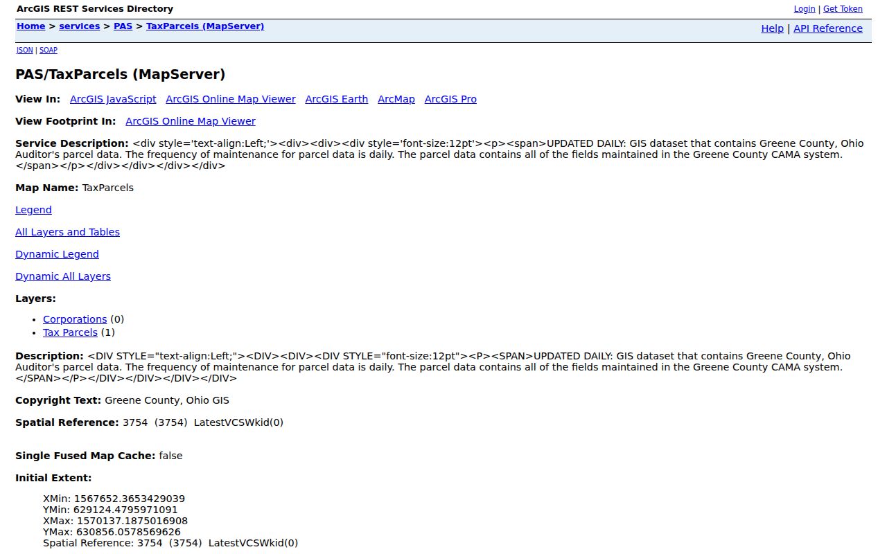
Map geometry helps establish which parcels meet along a Xenia street, then the Auditor and Recorder provide the ownership and instrument evidence that the map cannot establish on its own.
Use GIMS conservatively: locate the subject parcel, inspect its public attributes, and identify visibly contiguous polygons if needed. The viewer has search, advanced-search, layer, attribute-table, measurement, and buffer functions, but the research did not verify a complete adjacent-household output. A parcel map is property context, not a list of people.
Xenia Street Records by Address
Each record set answers a narrower question. The parcel record connects land, ownership, and current tax data. Recorded instruments connect transfers over time. Permit and tax-status material can add dated context, while historical directories can identify an occupant for a particular volume. Use the source nearest to the fact being tested.
| Address-keyed record | Local keeper | Evidence it supplies | Critical limit |
|---|---|---|---|
| Parcel and tax record | Greene County Auditor | Owner, property address, legal description, transfers, value, and footprint | Mailing and situs addresses can differ. |
| GIS parcel map | Greene County GIS | Parcel geometry, map context, and available layers | Not an authoritative deed image or household roster. |
| Recorded instrument | Greene County Recorder | Grantor/grantee chain and title context | General online index begins in 1984. |
| Plat and legal description | Recorder, Auditor, and GIS | Lot/block and cabinet-page bridge | Old and new references may need conversion. |
| Permit or code record | City or county issuing office | Released application or work context for an address | Not a current-resident record. |
For an address inside city limits, Xenia’s Building Division is the stated permit custodian. The city-linked CitizenServe portal advertises application submission, fee calculation, application search, development-project search, and code-enforcement search. Its public search details and historical coverage were not verified, so only the documented routes should be relied on.
Xenia Street Directory Map View
GIMS is useful because it displays parcel context before a name is carried into a title search. The map can also help distinguish a street segment from a similarly named road or a property that crosses an apparent boundary. Return to the Auditor for tax-roll fields and to the Recorder for instruments, rather than treating an on-map label as the final record.
The county’s GIMS parcel viewer is shown in this captured view.

Use the visible parcels to keep an address search grounded in a defined lot, then compare the property address, legal description, and recorded transfer rather than assuming the street label tells the entire history.
Note: Greene County assigns addresses in Xenia Township, while incorporated Xenia addresses are directed to the local city or village process.
Xenia Street Deeds and Images
The Recorder describes its role as keeping and indexing land records so a chain of title can be established. Its published general web-index coverage begins in 1984. Start a deed trail with the current owner as grantee, locate the acquisition instrument, then use the named grantor as the next earlier grantee search. Carry the legal description, parcel ID when available, and book, page, or instrument reference through every step.
The Greene County Recorder supplies the source page captured below.
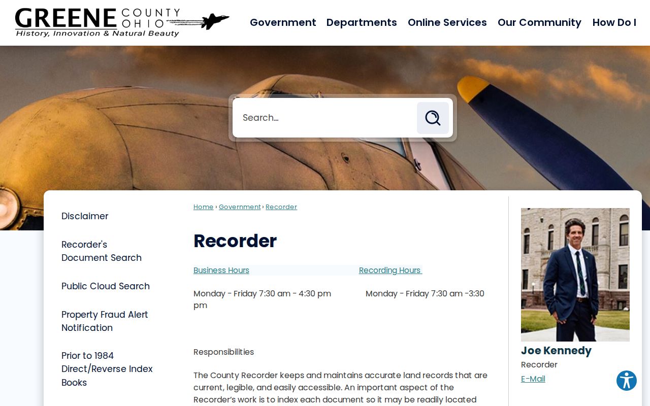
The Recorder’s page leads to its document search, but access to an index does not mean every image is available or official for every purpose.
Most instrument images begin January 1, 1995. Plat, condominium, and street-name-change searches are notable exceptions listed from January 1, 1803 when searched by name. Some categories have no online viewing, including abstract/judgment, child-support, federal-tax, and U.S.-Justice liens. Web images are informational and watermarked; official unwatermarked copies are available at the office.
Xenia Street Plat Continuity
A current street number may fail in an older deed because streets and numbers change while land descriptions continue. The Greene County historic-property guide recommends carrying the legal description through plats, deed indexes, and tax duplicates. In the eastern county, that description can use a Military Survey number. West-side descriptions can use range, township, and section formats. Those differences are reasons to preserve the exact wording rather than simplify it.
Greene County’s plat conversion instructions say Plat Books 1 through 29 and Condo Books 1 through 3 require a new Plat Cabinet/Page reference. Search by Book/Page and inspect the Remarks field for the new reference. Plats recorded after March 11, 1994 use a Plat Cabinet instead of a Plat Book. The conversion table is the local bridge when an old deed and current map use different citations.
The September 2025 Towne Square replat record is a current reminder that road and address changes can require alignment among the City, Postal Service, 911, and county tax systems. Verify a changed address with the parcel and record trail, not a modern street name alone.
Xenia Street Grid Context
The county-administered address grid centers on Main and Detroit Streets in downtown Xenia. Its procedure uses one-mile squares with 500 numbers per square, roughly one number for every ten feet. North and east sides use even numbers, while south and west sides use odd numbers. That system helps interpret an address in the county-administered area, but it is not a substitute for checking municipal boundaries or a parcel’s taxing district.
Addresses are assigned after approved final-plat recording, with different treatment for construction addresses, shared drives, back lots, loop roads, and units. As a result, a construction, 911, postal, tax-mailing, and deed description can require reconciliation. Xenia’s recent annexation examples reinforce that a Xenia postal label alone does not establish city limits.
Historical Xenia Street Occupants
Historical directories, newspapers, maps, and census material provide a dated occupant layer that deeds do not. The Greene County Room reports city directories dating to 1870 and newspaper microfilm dating to 1814. A directory’s reverse or street section, if present in the exact volume, is the best address-to-listed-person clue. It should be read with the year, street form, and source limitations intact.
The County Archives guide warns that street names and numbers change. Xenia maps around 1870, ward maps from 1873, and later sectional maps can help interpret that shift. The Library of Congress Xenia Sanborn set includes sheets for 1885, 1890, 1895, 1901, 1910, and 1919. Pair a map with a directory or newspaper from the same era before connecting a past household to a modern street number. For collection details, use the Xenia city directories reference.
Note: A directory entry identifies a listed occupant for its date, while a deed identifies a recorded land transaction, not a complete household.
Xenia Street Directory Privacy
A street-by-street record search has firm limits. Property tools do not establish every person at an address, utility or delivery accounts, driver-license address data, a ballot choice, or protected voter information. An individually confirmed public record still needs to be understood as that record type, not as a general profile. Property-fraud alerts monitor a selected name or filing and are not an address-locating service.
Lawful use. Use Xenia street records for personal research, family history, property context, or civic curiosity. Do not use address information to stalk, harass, intimidate, or harm anyone.
For a missing image, unclear transfer, or an earlier chain link, use the right official channel. The Recorder offers its document-search site and counter copies; public-record requests may be submitted through the county website, email, mail, fax, drop-off, or in person. The Greene County Archives is the early-record fallback, while the Auditor and GIS offices can clarify their own parcel or map data.